Toyota’s automated driving software development company has successfully constructed a high-definition map for autonomous driving with a relative accuracy of fewer than 50 centimetres.
Automated driving is coming and driverless commuting is now a step closer as Toyota Research Institute-Advanced Development, Inc, (TRI-AD) has successfully completed proof of concepts (PoC) demonstrated by constructing a high definition map of road surfaces with a relative accuracy of less than 50 centimetres.
In the PoCs, TRI-AD verified two effective methods for HD map building:
- Without the use of survey vehicles, data collection is done via map data from the car’s onboard cameras as well as satellite imagery.
- And the vehicle’s data from TRI-AD’s Automated Mapping Platform (AMP) is applied to other companies’ platforms by converting data formats and applying the correct algorithms.
By utilising the results of these PoCs, the times of updating the HD maps can be shortened and areas of the HD map coverage can be expanded in a short amount of time while reducing costs to build and maintain the maps.
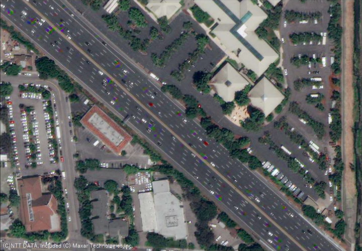
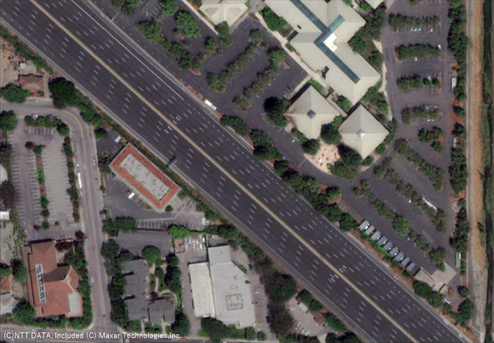
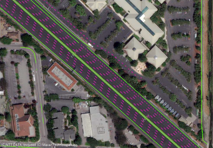
The Proof of Concept is a collaboration between Maxar Technologies, NTT Data Corporation, and TRI-AD demonstrated that it is now possible to extract required map information by analysing, removing and correcting non-map image pixels such as automobiles, shadows and occlusions due to the inclination of buildings in the satellite imagery.
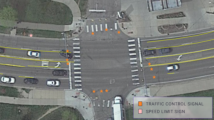
Currently, the high definition maps were made within 23 districts in Tokyo as well as six cities globally. The maps boast an accuracy of 25 centimetres and verified to be feasible of automated driving purposes.
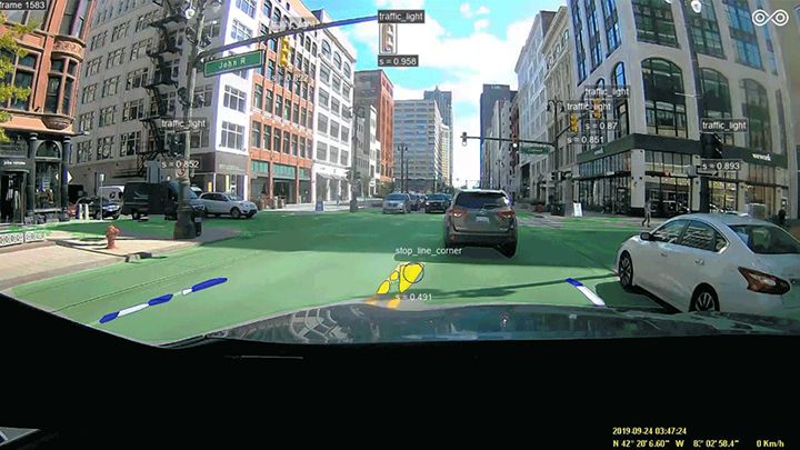
In another PoC, TRI-AD and Carmera have successfully conducted a camera-based HD mapping initiative. The collaboration used a “dashcam” driving recorders to detect and place key road features, such as lane markings, traffic lights and signs. Likewise, the recording is done in 23 of Tokyo’s districts and two cities in the United States. This project has achieved an accuracy of 40 centimetres.
TRI-AD’s work with Carmera used the same hardware-agnostic computer vision and processing technology as Carmera’s Real Time Events and Change Management engine. The technology detects, validated and deliver navigation-critical updates to Carmera’s regenerative HD mapping system in minutes, rather than months.
Moreover, by using consumer-grade on-board vehicle cameras commonly accessible around the world, TRI-AD and Carmera showcased a scalable approach to next-generation map making.
TRI-AD had also collaborated with TomTom International BV on a PoC to show that urban roads including lane marking are necessary for automated driving, which could help create or update TomTom’s HD maps in near real-time. This is achieved by verifying the reliability of the vehicle data collected by TRI-AD’s AMP and then converting the data for input into TomTom’s cloud-based transactional mapmaking platform.
Also, TRI-AD has collaborated with HERE Technologies for a PoC of correcting the positional errors in the vehicle data collected by TRI-AD. HERE was able to automatically create surface road maps by using the company’s proprietary advanced “Self-Healing” technology.
By using only vehicle sensor data, HERE ingested the data into its platform and automatically generated HD maps, including lane level information required for automated driving. Currently, HERE’s HD Live Map has already been selected to power some of the world’s most prestigious OEM’s Level 3 automated vehicle programs.